Welcome!
We're so happy to see you.
It's great to have you here, and we hope you that you find what you're looking for. If not, don't hesitate to get in touch with us. Fill in your details and we'll get right back to you.
Contact Us
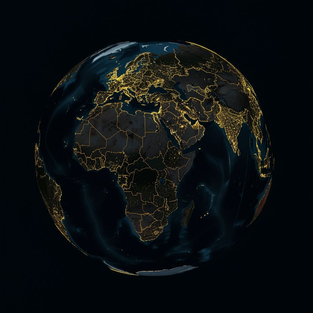
EarthTech-AI is a Geospatial Analytics company focused on using AI to make spatial data more attainable, affordable and more accessible.
EarthTech-AI brings the power of geospatial intelligence to your hands
Detection is the first step to action.
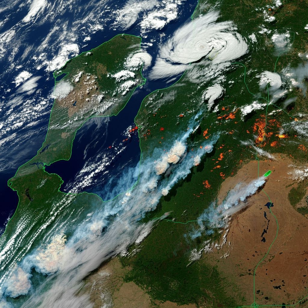
Data Collection
Analysis
Lifetime tools
Advanced Analytics
Geospatial
Analytics
AI powered
for the planet
Our Core Services
We work with you to come up with the very best solutions for your challenges!
01
Geospatial Data Collection
Utilizing advanced surveying techniques, satellite imagery, and drone technology to gather accurate and comprehensive geospatial data
02
Geospatial Data Analysis
Applying advanced GIS (Geographic Information Systems) tools and techniques to interpret, model , and extract valuable insights from the collected data
03
Geospatial Data Visualization
Presenting the analyzed data in visually compelling and informative ways, such as interactive maps, 3D models, and data dashboards
04
Client focused
Client makes informed choices and optimizes operations. By leveraging our expertise in geospatial data collection, analysis, and visualization, we empower our clients to make informed decisions, optimize operations, and gain a competitive edge in their respective industries.

Geospatial Analytics + AI = Earthtech
Geospatial analytics, when combined with artificial intelligence, offers transformative potential for deriving actionable insights from spatial data. AI algorithms can analyze vast amounts of geographic information, such as satellite imagery, maps, and location data, to identify patterns and trends that might be invisible to the human eye. For instance, machine learning models can predict urban growth by analyzing historical land use data and current development patterns, enabling city planners to make informed decisions about infrastructure and resource allocation. Similarly, AI-driven geospatial analytics can enhance disaster response by analyzing real-time data to identify affected areas and optimize relief efforts. By leveraging AI to automate data processing and analysis, organizations can gain deeper insights into spatial relationships and dynamics, ultimately driving more strategic and effective decision-making.